Drone Altitude for Residential Communities Denton: Why Flying Too High Hides More Than It Shows
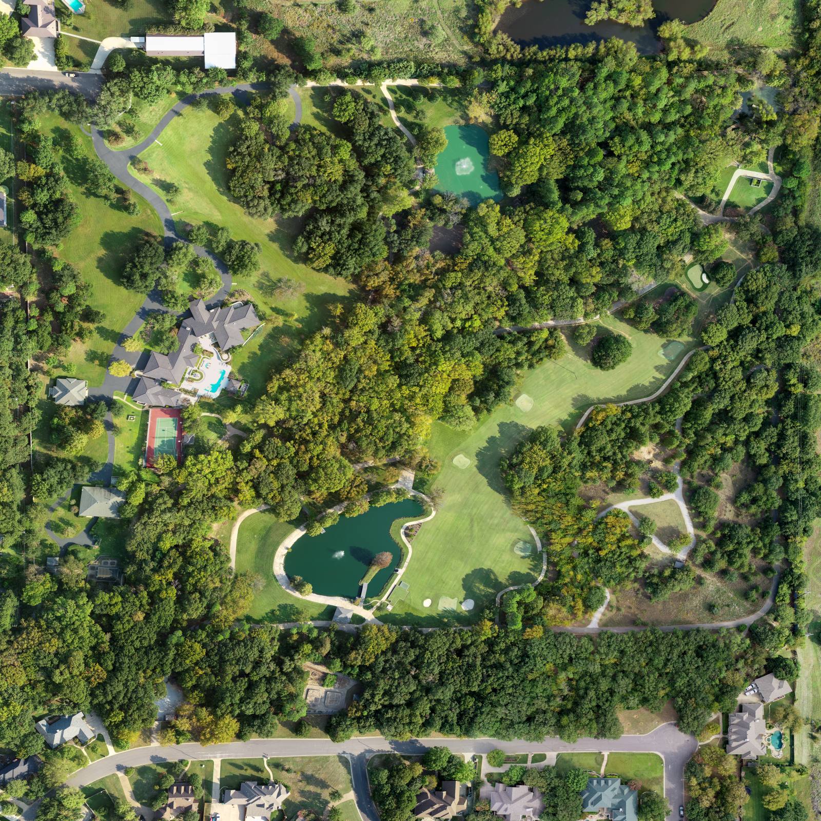
Aerial listing photography is simply a set of images taken from above that show where a house sits within its neighborhood—its access, its surroundings, its relationship to streets, parks, and other features. It’s not just a pretty picture. It’s a spatial map for someone who’s never stood on the sidewalk. So what happens when that photo makes the house look like a dot in a sea of rooftops? In Denton, where neighborhoods grow in tight, repeating blocks, flying too high doesn’t sell a home—it erases it.
Why 300 feet feels like a safe bet—and why it’s wrong
I used to fly at 300 feet. It felt safe. I could capture three streets at once, show the whole subdivision, and make the house look like part of something bigger. But I kept seeing the same thing in listings: buyers scrolled past. Why? Because at 300 feet, Denton’s typical 1990s tract homes all look the same. Terracotta roofs, same-sized lots, same driveways. The drone sees a pattern. The buyer sees noise. The house doesn’t stand out—it disappears. And that’s not because the house is unattractive. It’s because the altitude hides the very thing that makes it worth seeing: the yard, the porch, the driveway, the way the trees frame the front entrance. That’s not scale. That’s anonymity.
The rule I follow now: stay below 200 feet
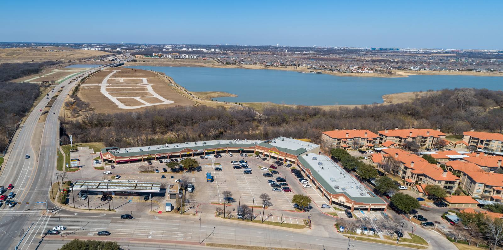
I fly no higher than 200 feet over residential areas in Denton. Why? Because at that height, the roofline becomes a shape, not a texture. You start to see the curve of the driveway, the shadow of the trees over the patio, the length of the side yard. You see how the house leans into the street, or how the garage sticks out awkwardly. That’s information. That’s context. The FAA allows drones to fly up to 400 feet above ground level under 14 CFR Part 107, but that’s a ceiling, not a recommendation. The rule doesn’t say what’s useful. It says what’s legal. What’s useful is what makes the buyer pause. And in Denton, that happens at 150 to 180 feet.
June light in Denton changes everything
It’s June 2026. The sun hits at 70 degrees by 10 a.m. The grass is still green—lawns are still watered, the city hasn’t hit dry restrictions yet—but the shadows are sharp, and the heat shimmers off asphalt. If I fly too high in this light, the roof looks washed out, the pool turns into a white blur, and the trees become green blobs. At 170 feet, I can angle the shot so the morning sun catches the edge of the eaves, the shadow under the porch becomes a clear line, and the driveway reflects just enough to show its texture. I don’t shoot after noon. Not because I’m avoiding heat—I’m avoiding flat light. The contrast disappears. You lose depth. And depth is what tells someone this house has dimension, not just square footage.
What I look for before I take off
Before I launch, I walk the block. I check where the power lines cross, where the trees overhang the street, where the neighbors’ pools sit. I don’t need to know the owner’s name. I need to know where the drone can’t go. In Denton, many homes are tucked behind mature live oaks. A 200-foot shot from the wrong angle hits branches. So I plan two or three flight paths. I shoot wide to show the street, then a tighter shot that follows the driveway in. I always get a 45-degree angle shot from the side—never straight down. Straight down kills the story. You can’t tell if the house faces east or west, if the backyard opens to a greenbelt or another fence. That’s why I don’t fly higher. Higher gives you a map. Lower gives you a door.
The mistake everyone else makes
Most photographers in DFW treat aerial photography like a checklist: get the house, get the pool, get the street. Then they fly higher to ‘show more.’ But in Denton, ‘more’ isn’t better. It’s generic. In Plano, where homes are newer and set on larger lots, 250 feet might work. In Fort Worth, near the Trinity River, you need altitude to show the river bend. But here? You need intimacy. You need to see the difference between this house and the one next door—the one with the sagging fence, the one with the new deck, the one with the two cars in the driveway. That’s not visible from 300 feet. It’s visible from 170. And that’s the difference between a photo that gets saved and one that gets swiped away.
What you actually get from a good shot
You don’t get a pretty picture. You get a decision point. A buyer scrolling on their phone sees three listings. One is a top-down blob. One is a close-up of a front door. One shows the house sitting at the end of a quiet street, with the driveway curving into view, the tree casting a shadow over the garage, and the neighbor’s fence just barely visible in the corner—enough to show scale, not intrusion. That third one gets clicked. That’s the one I make. Every time. I don’t shoot for the MLS. I shoot for the thumb that stops scrolling.
Frequently asked
How long does a typical residential drone shoot take in Denton?
About 30 to 45 minutes. I need time to walk the block, check for power lines and trees, set up the flight path, and shoot three to five key angles. I don’t rush. If the wind picks up above 12 mph—which happens in June—I pause. A shaky frame isn’t just ugly. It’s useless.
Do you shoot interiors too?
I do. But only if the listing includes it. Aerial shots show where the house sits. Interior shots show what’s inside. They’re two different tools. I don’t mix them unless the client asks. One isn’t better. They just do different jobs.
Can I use the raw files?
No. Every image I deliver is edited. I adjust exposure to balance the June sun, correct lens distortion from the wide-angle, and clean up power lines or trash cans that accidentally drifted into frame. Raw files aren’t ready. They’re a starting point. I’m not selling a file. I’m selling a story that works.
Ready to book your aerial photography session?
Get a Free Quote