What Car Dealership Aerial Photos Should Show in Lewisville
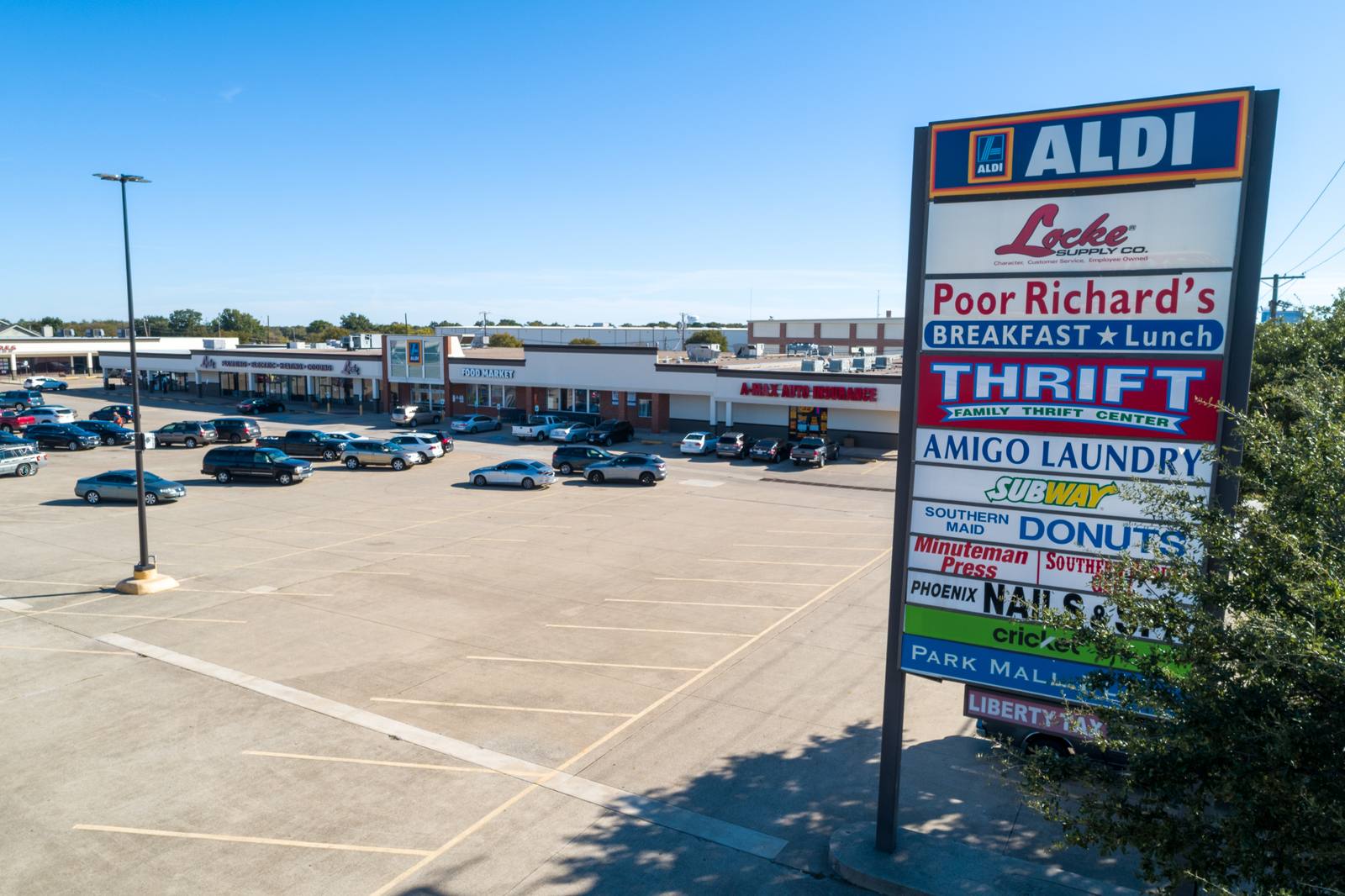
A car dealership aerial photo is simply a set of images taken from above—usually between 200 and 400 feet—that show how the lot is arranged, how people enter and exit, where vehicles are parked, and how the service drive connects to the sales floor. It’s not a decorative shot. It’s a functional map. So what should it show to someone who’s never been there? Not just cars. The flow.
Why this isn’t just another real estate shot
Most people think aerial photos are about making things look big or shiny. That’s not how it works with a dealership. A shopper scrolling through listings needs to know: Can I walk in easily? Do I have to drive past a dozen trucks to get to the sales desk? Is the service entrance separate? A manufacturer reviewing regional performance needs to see: Are the display rows full? Is the inventory spread too thin? Is the wash bay blocking access? This isn’t about beauty. It’s about layout clarity. The FAA limits small drones to 400 feet above ground level under 14 CFR Part 107, and we stay right under that—low enough to see tire tracks, high enough to see the whole lot.
What to move or fix the night before
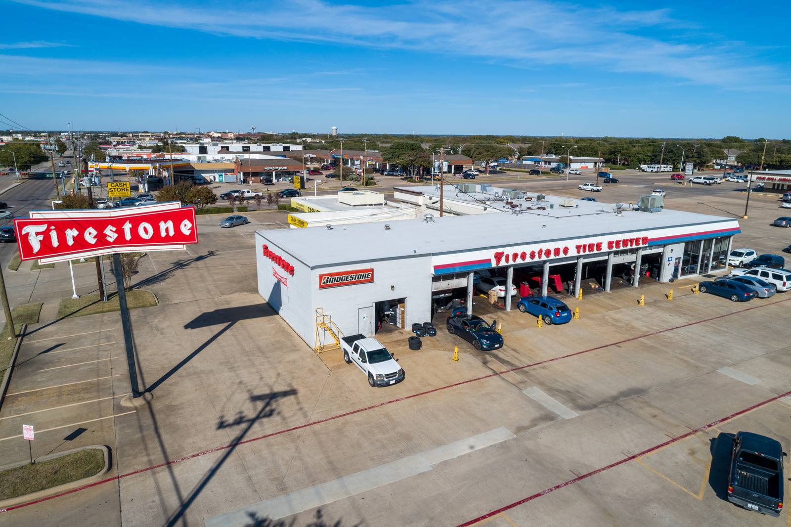
The biggest mistake I see? A lot that looks chaotic because someone left a dolly, a pallet of floor mats, or a service cart near the main entrance. You don’t need to clean the whole lot. You need to clear the sightlines. Move anything within 15 feet of the customer entrance, the main signage, or the display pad facing the road. If the wash bay is active, shut it down for the shoot. If you’ve got new inventory rolling in that morning, delay the shoot until after it’s parked. I’ve seen lots where a single misplaced trailer blocked half the view of 20 new vehicles. It wasn’t the drone’s fault. It was the timing. In Lewisville, traffic patterns shift quickly on weekdays—morning deliveries come in before 8 a.m., and the service drive gets busy after 10. We schedule shoots between 9 and 11 a.m. when the lot is settled, not crowded.
The angle that tells the whole story
There’s one shot we always take first: directly over the center of the sales floor, looking down the main row of inventory. That’s the anchor. If you shoot that same angle every quarter, you can see trends: Are the display rows getting fuller? Is the service entrance being used more? Is the walkway to the finance office clear? We use a 24mm lens on the drone—it’s wide enough to capture the full row without distorting the spacing between vehicles. A 16mm lens would stretch the front row too far. A 35mm would cut off half the lot. That’s the lens we use. Always. Consistency matters more than creativity here. If you change the angle each time, you can’t compare seasons. That shot isn’t for Instagram. It’s for internal reports.
How the service drive and customer entrance must be separate
One of the clearest signs of a well-run lot is how cleanly the service drive separates from the customer entrance. If they cross, if service vehicles cut through the display area, or if customers have to wait behind a tow truck, that shows up in the aerial. We look for two distinct paths: one leading to the sales building, one leading to the service bays. The space between them should be visible—not blocked by cones, trailers, or stacked tires. In Lewisville, we’ve seen lots where the service entrance was hidden behind a row of used trucks. Shoppers didn’t know where to go. The aerial made it obvious. That’s the value: not just showing the lot, but showing the friction.
Why the display pad matters more than you think
The display pad is the first thing a driver sees from the road. If it’s too small, or if the vehicles are too far back, the lot looks empty. If it’s cluttered with signs or parked trailers, it looks disorganized. We need to see at least three rows of vehicles clearly visible from the road, with no obstructions. We don’t care if the vehicles are shiny. We care if the pad is functional. A pad with six cars, all facing the road, spaced evenly, with no signs blocking the view—that’s what a manufacturer wants to see. That’s what a shopper notices, even if they don’t say it. In Plano, I’ve seen lots that used banners to hide empty spots. In Lewisville, we don’t need that. The lot either has inventory or it doesn’t. The aerial shows it.
Frequently asked
How long does the shoot take?
Typically 30 to 45 minutes. We don’t hover for hours. We fly the key angles, get the data, and leave. If the lot is large or has multiple buildings, we might need 60 minutes, but we always confirm the schedule the day before.
Do you edit the photos?
Yes. Every image is adjusted for exposure, color balance, and clarity. We remove temporary debris like trash or misplaced cones. We don’t add vehicles or move buildings. What you see is what was there, just cleaned up enough to read clearly.
Can I use this for my website and social media?
You can use it anywhere. The same set works for your homepage banner, your Google Business profile, and your manufacturer’s regional dashboard. We deliver high-res files ready for web and print.
I shoot car dealership aerials in Lewisville—clear, consistent, and built for function, not flair. You’ll find the full service details on the site.
Ready to book your aerial photography session?
Get a Free Quote