Drone Altitude Rules for Real Estate Photos in Denton
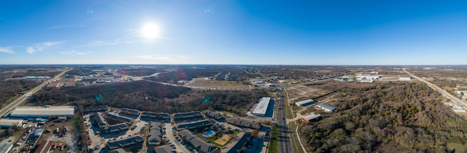
Aerial real estate photography means capturing your property from above — not just a few feet up, but high enough to show how it fits into the neighborhood, the road access, the surrounding land, and the natural features around it. It’s not a fancy extra. It’s a way to show scale, context, and layout in a single frame that ground shots can’t match. So what happens when the drone can’t fly as high as you expect? And why does that change what you actually see in the final photos?
It’s not about how high you want to go — it’s about where you’re allowed to go
The FAA limits small drones to 400 feet above ground level under 14 CFR 107.51. That’s not a suggestion. It’s a rule. But here’s what most people don’t realize: that 400-foot limit isn’t measured from sea level. It’s measured from the ground beneath the drone. So if your property sits on a hill in Denton, the drone might be at 500 feet above sea level but still only 350 feet above your roof. And if you’re near an airport, a military zone, or even a temporary flight restriction, the limit could drop to zero — no matter how high the ground is.
Why Denton’s airspace isn’t the same as Plano’s or Fort Worth’s
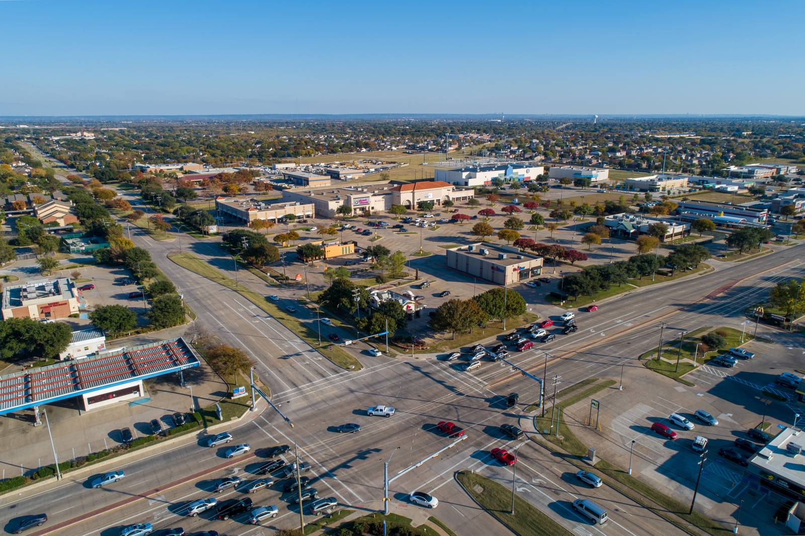
Denton has its own set of airspace constraints because of proximity to the Denton Municipal Airport and several Class G and Class E controlled zones. I’ve had shoots canceled because the drone couldn’t legally rise above 250 feet over a property on the edge of town, simply because of a nearby air corridor. In Plano, I’ve flown at 380 feet over open land with no issue. But in Denton, if your house is within two miles of the airport’s runway extension, even that’s too high. You don’t get to assume. You don’t get to guess. You have to check.
How I actually check airspace before every shoot
Before I book any Denton job, I pull up the FAA’s B4UFLY app or the UAS Facility Maps from the FAA’s website. I enter the exact coordinates of the property. I look for active NOTAMs, temporary flight restrictions, and whether the area falls under a controlled airspace corridor. I don’t rely on the address alone — I need the lat/long. I’ve seen properties on the same street with wildly different altitude limits because one sits just inside a restricted buffer and the other doesn’t. If the airspace doesn’t allow me to fly above 200 feet, I tell the client upfront. Then we decide: do we want to work with that constraint, or do we need to reschedule for a different time or day when the airspace opens up?
What you lose when the drone can’t climb
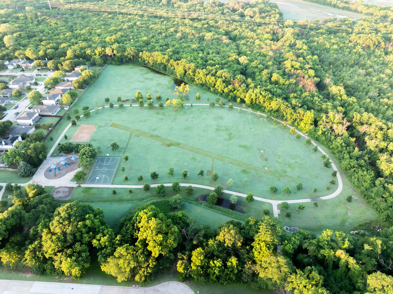
If the drone is stuck below 200 feet over a Denton property, you lose context. You can’t show how the house connects to the road network. You can’t capture the full length of a large lot. You can’t show the transition from backyard to wooded area or the distance to the next neighborhood. You get a tight, ground-hugging shot that looks like a high-angle still — not an aerial. The difference isn’t subtle. It’s the difference between a photo that tells a story and one that just shows a house.
The one thing you can do today to avoid a wasted shoot
Before you even call a drone operator, go to FAA’s Part 107 page and type your property’s address into the B4UFLY app (it’s free). You’ll see a color-coded map: green means you’re clear to fly up to 400 feet, yellow means caution, red means no fly. If it’s red or yellow, call your operator and ask: ‘Can you get clearance for this location?’ Don’t wait until the morning of the shoot. If the airspace is restricted, we might need to wait for a weather window, or shift the shoot to a different day when the airspace is open. That’s not a delay — that’s planning.
What’s actually in the final set — and why editing matters
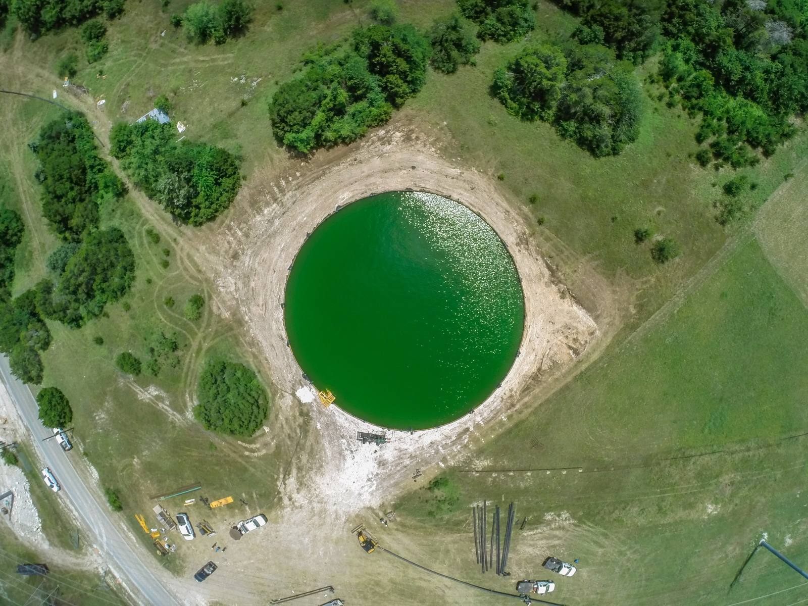
Every aerial photo I deliver is stitched, leveled, color-corrected, and exposure-balanced. I don’t hand over raw files unless it’s pre-arranged. Why? Because a drone shot taken at 280 feet over a Denton property with late afternoon sun will have shadows stretching across the roof and the yard. Without editing, the house looks dark. With editing, the details come out — the texture of the siding, the clarity of the driveway, the definition of the fence line. That’s not magic. It’s process. And if your operator doesn’t do this, you’re not getting a professional product.
Frequently asked
Can’t I just use a photo from Zillow or Realtor.com instead?
Those images are often taken with consumer drones or from lower altitudes than what’s needed to show context. They might look good on screen, but they rarely show how the property connects to the neighborhood or access routes. In Denton, where properties vary from urban lots to acreage with creek access, that context is what makes a listing stand out.
What if the weather turns on shoot day?
I won’t fly if the wind exceeds 15 mph, if there’s any precipitation, or if visibility drops below three miles. That’s not a preference — it’s what keeps the drone safe and the footage usable. If weather cancels the shoot, we reschedule at no penalty. I’d rather wait for a clear day than risk a blurry, unusable set.
Do I need to be home during the shoot?
No. I just need access to the property if there’s a gate, and confirmation that pets are secured. Most Denton shoots happen while the owners are at work. I don’t need your input on angles — I know what works from experience.
Ready to book your aerial photography session?
Get a Free Quote