How to Hire a Drone Photographer in Denton Without Getting Scheduled Twice
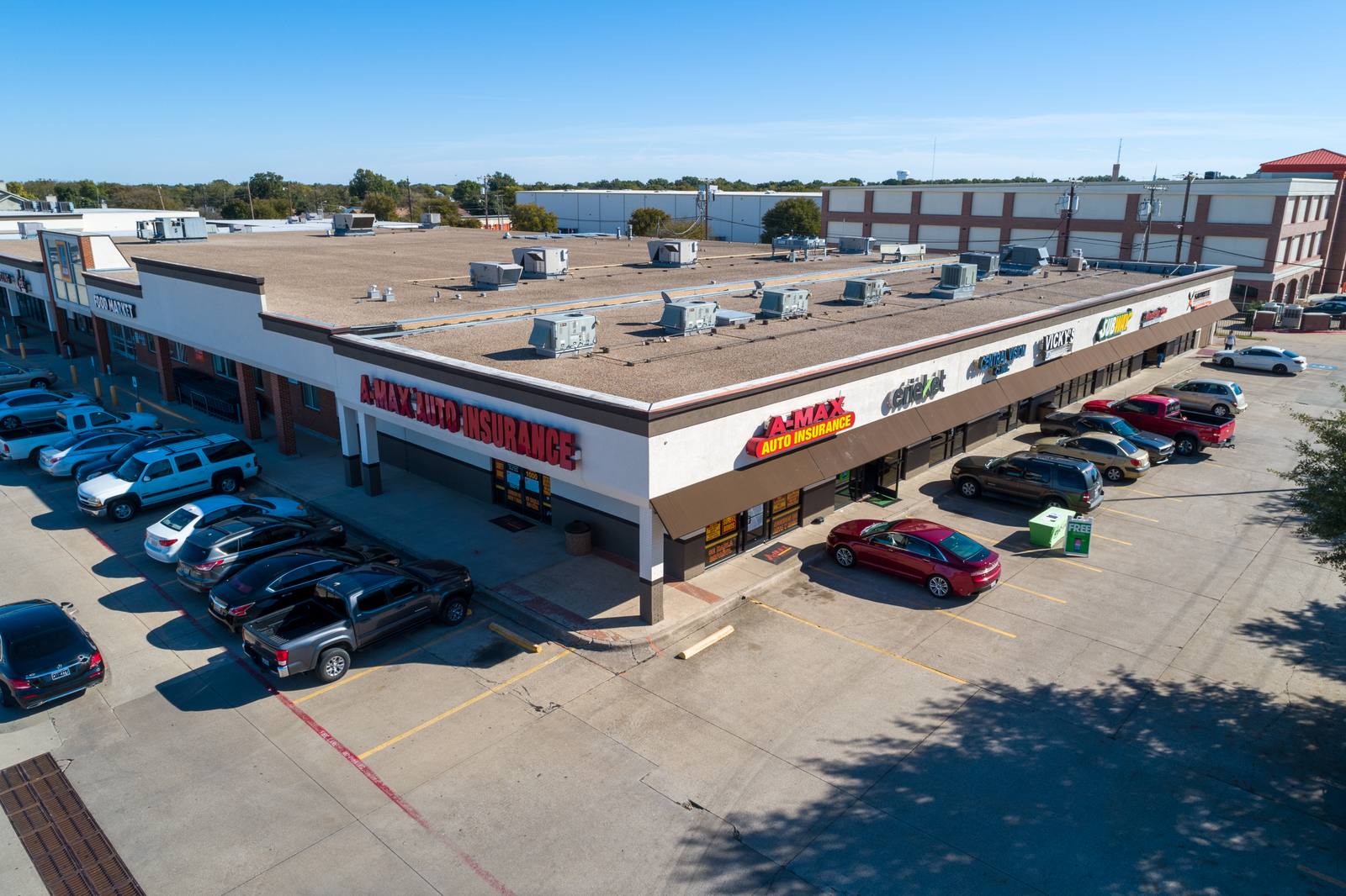
A drone photography shoot for a property means a series of video and still images captured from the air — usually between 200 and 400 feet — to show how a building sits on its land, how it connects to roads or neighbors, and what the surrounding area looks like. It’s not just a pretty picture. It’s a spatial report. So what makes one of these shoots go smoothly instead of getting canceled or delayed because the pilot couldn’t legally fly? It starts with three questions you need to ask before you pay a dime.
First, ask for their FAA Part 107 certificate
Not everyone with a drone can legally fly it for hire. The FAA requires commercial drone operators to hold a Remote Pilot Certificate under Part 107. If someone says they’re a professional drone photographer but can’t show you a digital copy of their certificate, walk away. I keep mine on my phone and pull it up before every job. It’s not a badge. It’s a legal requirement. The FAA’s rules say you can’t operate a drone for business without it — Certificated Remote Pilots including Commercial Operators. I’ve seen shoots get shut down because the pilot didn’t have it. Denton doesn’t have drone police, but the FAA does. And they don’t care if you’re just trying to help a friend.
Second, ask how they checked the airspace over your property
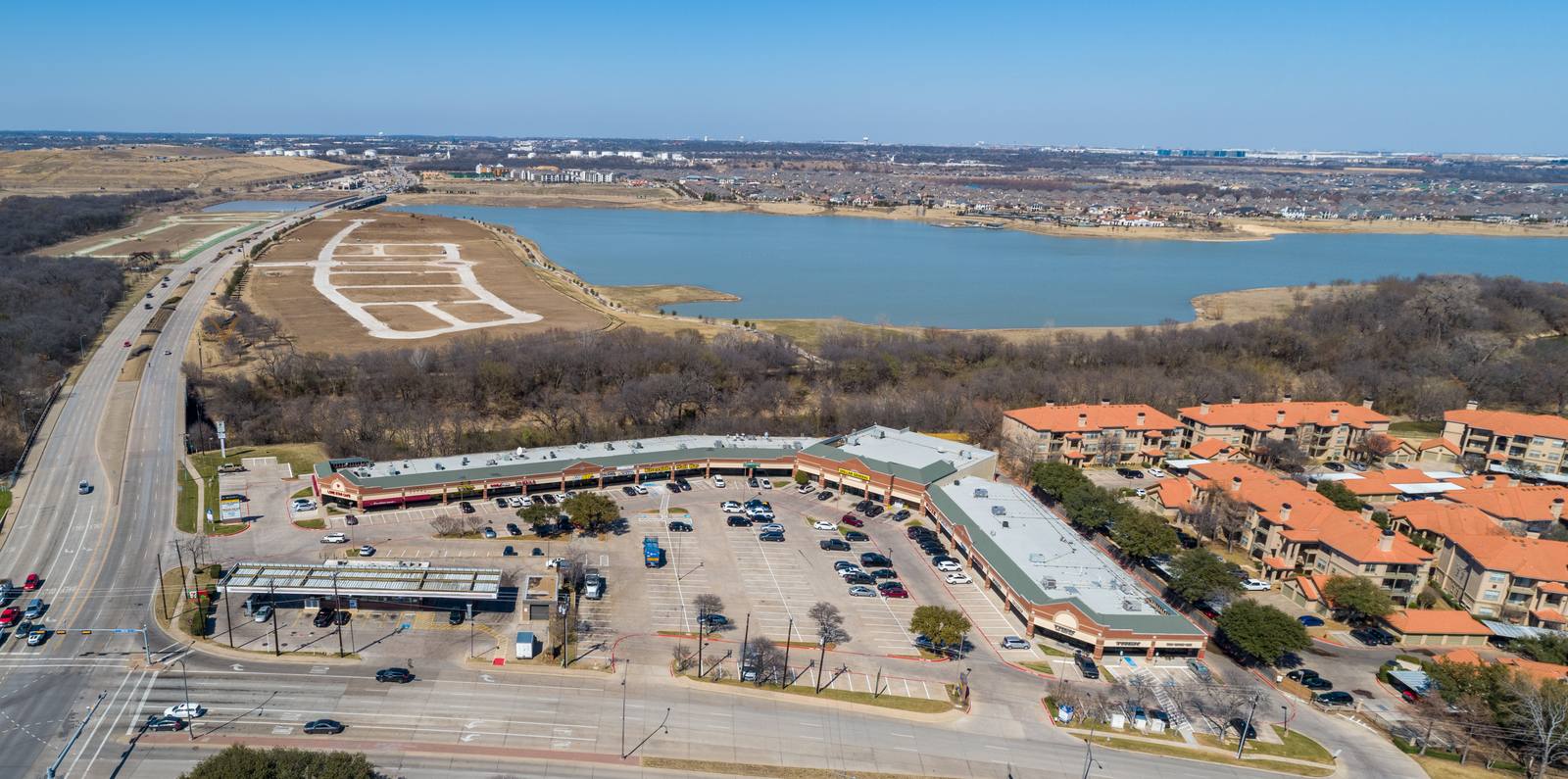
Not all airspace is open. Over Denton, you’ve got Class G airspace — uncontrolled — but also Class D around Denton Regional Airport, and restricted zones near military training routes and the FAA’s drone UAS Facility Maps. I use the B4UFLY app and cross-check it with the FAA’s UAS Facility Map before every shoot. If the property is within five miles of an airport, the law requires a waiver or authorization — 14 CFR 107.51. I’ve had shoots in Denton delayed two weeks because the client didn’t know their backyard was in a restricted corridor near the airport’s approach path. I didn’t cancel. I rescheduled. But I won’t fly without authorization. I’ve seen other photographers try to fly anyway. They get fined. Or worse — they crash into a power line because they didn’t know the terrain was restricted. Don’t let that be you.
Third, get the file format and usage rights in writing
What you get at the end isn’t always what you think. Some photographers deliver only JPEGs. Others give you raw files or video clips. Some include editing. Some don’t. I shoot in RAW+JPEG for real estate and commercial jobs because I need the flexibility to adjust exposure on the roof, the parking lot, or the trees lining the property. I deliver both. But I don’t assume you know that. I always send a one-paragraph agreement before the shoot: "You will receive 10 high-res JPEGs, 2 edited aerial videos (15-30 sec), and access to the RAW files for internal use only. No resale or public advertising without written permission." I’ve had clients try to use footage on billboards or YouTube without permission. It’s not illegal if I gave them the files — but it’s not ethical, and it’s not what I signed up for. If you’re using this for marketing, you need to know exactly what you’re allowed to do with the files. Ask for it in writing. Don’t wait until the day after the shoot to ask.
What actually happens on a shoot day in Denton
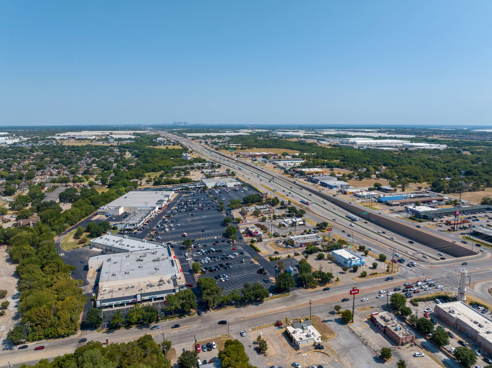
March in Denton means the grass is greening up, but the wind doesn’t care. It’s not hot yet, but the air is turbulent. I start at 8:30 a.m. — before the wind picks up. By 10:30, the thermal currents from the sun warming the asphalt and rooftops make the drone unstable. I won’t shoot after 11 a.m. unless it’s overcast. On a clear day, I fly at 300 feet. That’s high enough to show the full footprint of a commercial plaza or a house with a pool, but low enough to keep the trees and roof details sharp. I use a 24mm equivalent lens — wide enough to capture the property and its context, but not so wide that the edges warp. I shoot in manual mode. Auto exposure fails when the sky is bright and the roof is dark. I set the exposure for the ground, then bracket the shots. I take five passes: one straight overhead, one from the north, one from the east, one from the southwest, and one slow fly-by along the street. That’s the order. I never start with the fly-by. If the wind kicks up, I’ve already got the critical frames. If the sky clouds over, I’ve still got usable shots. I’ve done this enough to know that if I don’t get the overhead shot first, I might not get it at all.
What goes wrong — and how to avoid it
The biggest mistake? Assuming the drone will fly wherever the property is. It won’t. Trees, power lines, and even the shape of a building can block the signal. I always scout the site on foot before takeoff. I look for where the drone’s remote will lose line-of-sight. I’ve had a shoot in Denton where the client’s backyard was blocked by a row of mature live oaks — the drone’s signal dropped halfway through the first pass. I moved the launch point to the street. Took two extra minutes. Got the shot. If your photographer doesn’t walk the property first, they’re guessing. And guessing means wasted time. Also, don’t let them shoot when the sun is directly overhead. That creates flat shadows. I wait for the light to come from the west or east — even on overcast days. The clouds diffuse the light, but the angle still gives depth to the roofline, the driveway, the fence. I’ve seen other photographers shoot at noon in Denton and deliver images that look like cardboard cutouts. It’s not the camera. It’s the timing.
Frequently asked
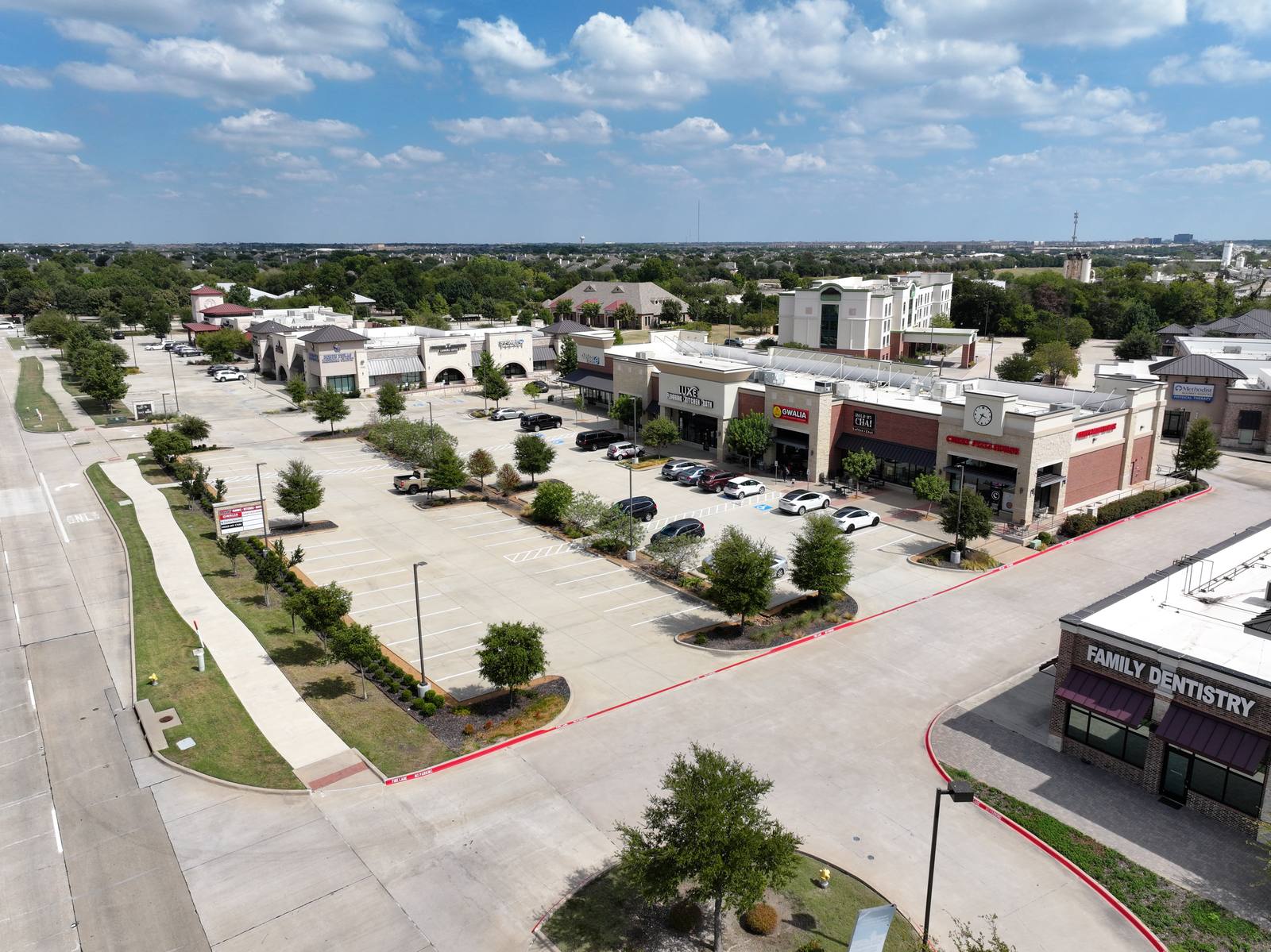
How long does a typical drone shoot take in Denton?
Most residential or small commercial shoots take 30 to 45 minutes on-site — assuming the airspace is clear and the weather holds. I don’t rush. I make sure I get the five key angles. If the wind is high or the sky is changing, I’ll come back another day. It’s better to wait than to deliver blurry footage.
Do you edit the images?
Yes. Every delivered photo is color-corrected, exposure-balanced, and cleaned of sensor dust or lens artifacts. I remove temporary objects — like a parked truck or a construction cone — if they’re distracting. I don’t add trees, remove neighbors, or fake sky. What you see is what was there, just refined.
Can I use the photos on Zillow or social media?
Yes — as long as you’re using them for your own property or business. I grant internal marketing rights by default. I don’t allow resale, redistribution, or use in third-party advertising without a separate agreement. That’s standard. It protects both of us.
I shoot aerials in Denton because the light and landscape here are different than in Plano or Fort Worth — less uniform, more varied. I know where the wind hits, where the trees block, and how the afternoon clouds roll in. I don’t sell packages. I deliver what the job needs. If you’re ready to move forward, find the service details on my site.
Ready to book your aerial photography session?
Get a Free Quote