How to Prepare for Drone Photos of My House in Denton
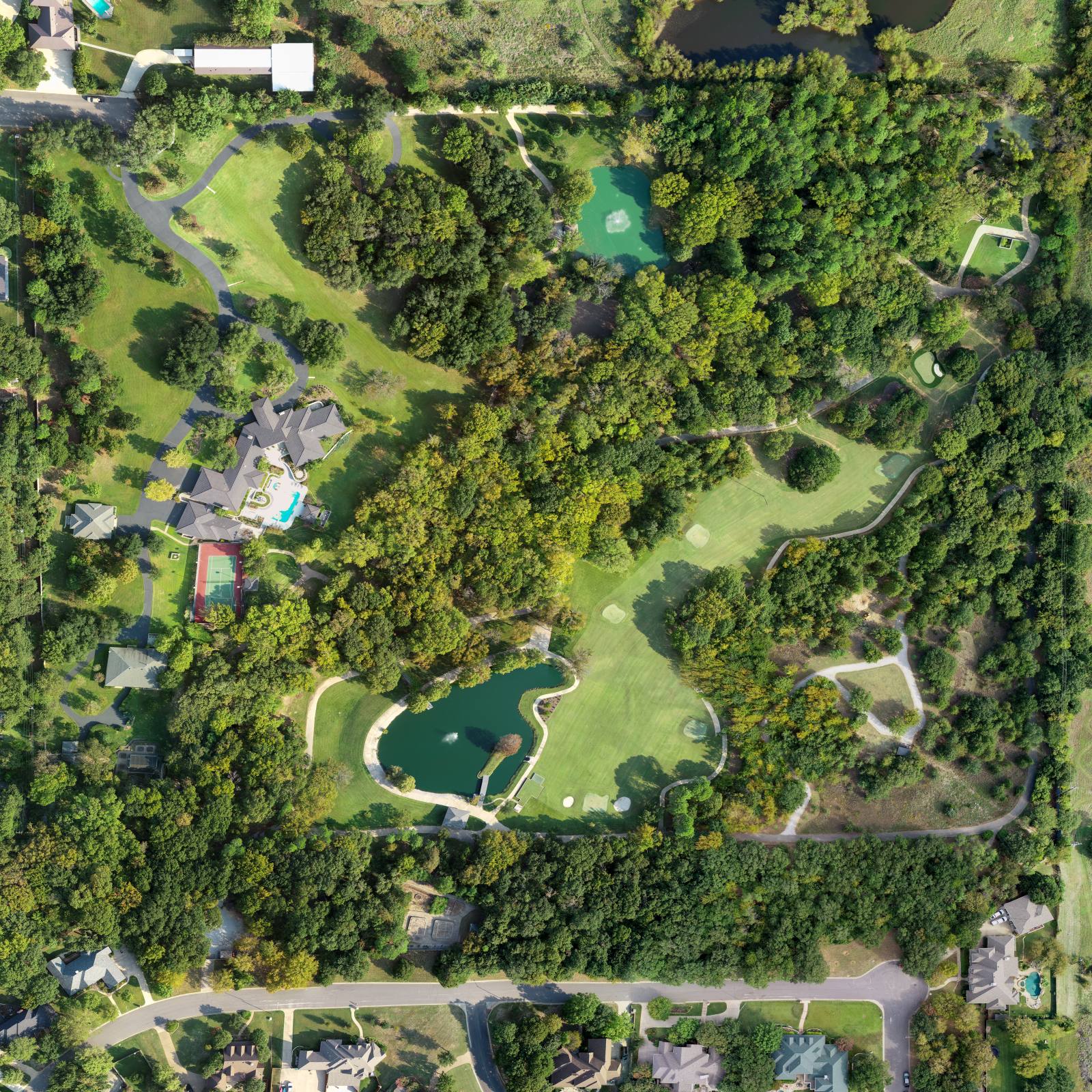
Aerial photos of a house mean more than just a bird’s-eye view of the roof. It’s the full context: the driveway, the fence, the neighbor’s overhanging tree, the parked pickup behind the garage. Aerial listing photos are simply a series of frames shot from a few hundred feet up that show where your house sits, how it connects to the street, and what’s around it — not just what’s in the yard. So what makes one of these shots work? Not the drone. Not the camera. It’s what you did before the pilot arrived.
What the drone sees that you don’t
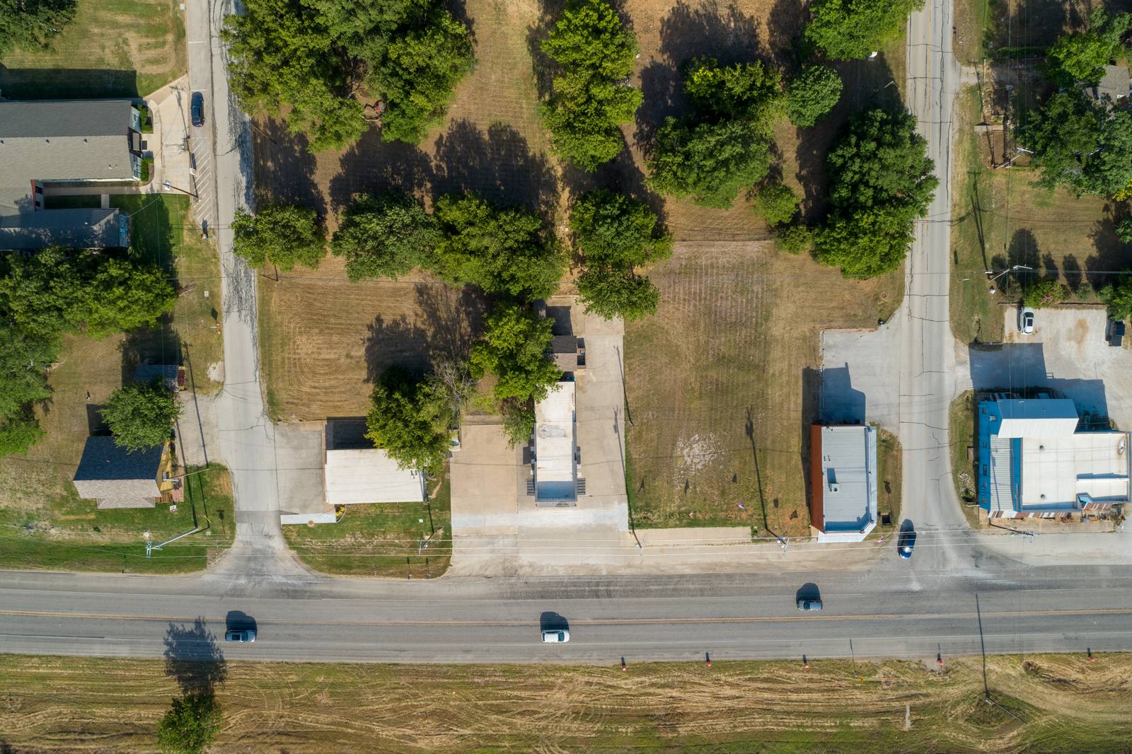
Every time I shoot one of these in Denton, something shows up in the frame that the homeowner didn’t know was there. A rusted swing set half-buried in weeds. A trailer parked beside the back fence. A pile of mulch stacked where the grass should be. A neighbor’s shed that sticks out past their property line, right into the corner of your backyard. None of these are deal-breakers. But they’re distractions. And in a listing, distractions make the eye wander. The goal isn’t to hide them — it’s to make sure they’re not the first thing someone notices.Walk the line — not just the yard
What’s above you matters too
I shoot at 200 to 300 feet, per 14 CFR 107.51, to get the full context without losing detail. That altitude means the drone sees everything within a 150-foot radius — including rooftops. In Denton, a lot of homes have accessory structures: tool sheds, covered patios, even small detached garages. If your neighbor has a metal roof that’s rusted or a satellite dish sticking out at an angle, it’ll be in the frame. You can’t move their roof, but you can ask them. A quick, friendly note — “Hey, I’m getting aerial photos this week, mind if I ask if you can move that satellite dish?” — goes a long way. Most people don’t think about it until they see the photo. And if they do, they’ll usually say yes.Timing matters more than you think
What I actually do when I get there
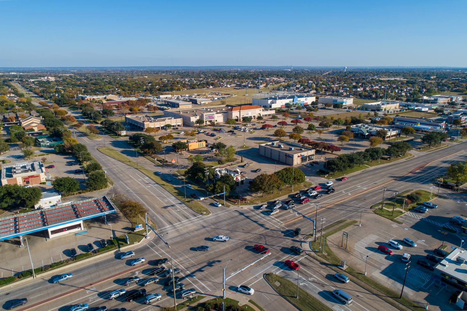
When I land, I don’t just turn on the drone. I walk the perimeter first. I look up. I look down. I check the power lines — if they’re too close, I adjust the flight path. I note the direction of the wind — I fly into it on the first pass so the drone doesn’t drift backward into trees. I shoot from four angles: front, side, rear, and diagonal over the roof. I don’t circle. I don’t zoom. I move the drone in straight lines, with the camera pointed straight down, then slightly angled, then back to level. That’s how you get clean, usable frames. I always shoot in 4K, and I always use a 24mm lens — wide enough to show context, narrow enough to avoid distortion. After the flight, I edit every frame: I level the horizon, adjust exposure, remove sensor dust spots, and sharpen edges. No raw files. Every delivered image is retouched. What you see isn’t what the camera captured — it’s what the scene should look like.Frequently asked
How long does the shoot take?
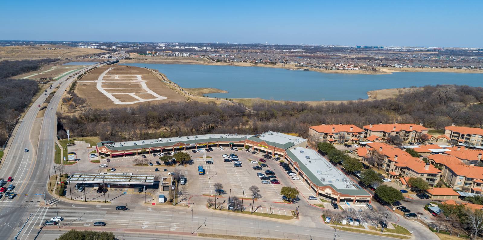
About 20 to 30 minutes on site. That includes walking the property, setting up, flying, and checking the first few frames. The drone itself is airborne for 10 to 15 minutes. I need clear air, steady wind, and no birds — so if the first pass looks off, I reset and try again.What if it rains the day before?
I won’t shoot. Wet ground looks muddy, and the grass is flattened. The drone’s sensors can’t lock onto the ground as well, and the air is heavier. I wait until the next dry day. Denton’s March weather changes fast — I’ve had clients reschedule from Friday to Monday and still beat the next storm.Do I need to be home during the shoot?
No. I just need access to the yard, and the gate unlocked. If you have pets that roam freely, I ask you to keep them inside. A dog running through the frame isn’t charming — it’s a blur. And I can’t fly if someone’s in the yard waving at the drone. I’ve seen it. It doesn’t help.Ready to book your aerial photography session?
Get a Free Quote