How to Prepare Acreage for Aerial Photos of Land and Acreage Listing in Gainesville
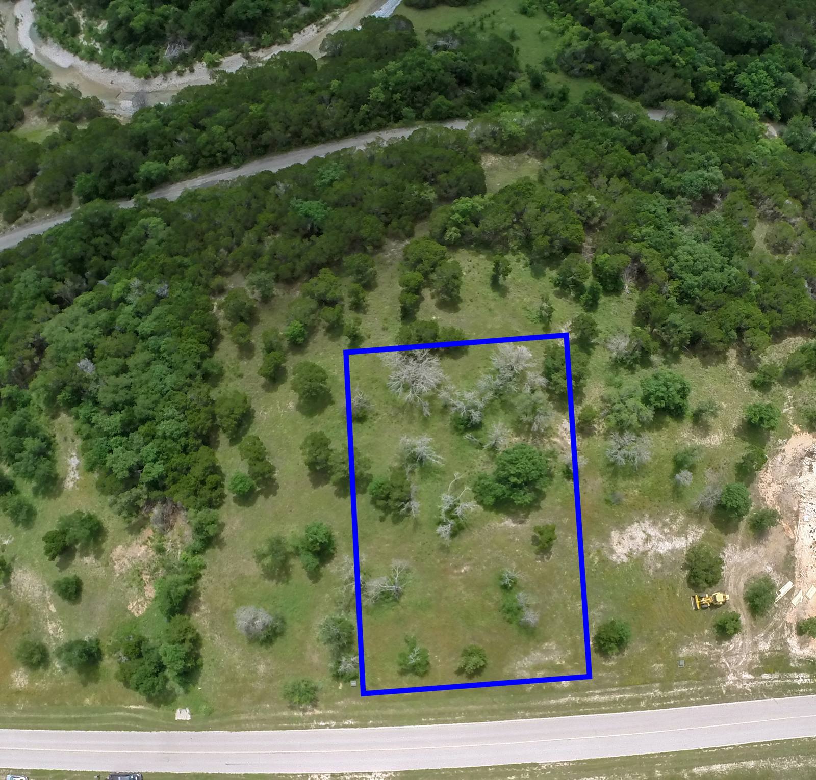
At some point, if you’re selling land in Gainesville, you’re going to need more than a few ground-level shots. You need a set of images that show the whole piece—how it connects to the road, where the fences run, how the trees and ponds break up the open space. That’s what an aerial listing set is: a series of frames shot from a few hundred feet that show where a property sits and how it is reached. So what makes one of these sets actually useful? It’s not just about height or resolution. It’s about clarity. If the drone can’t tell where the property ends, or if it’s flying over piles of equipment that look like buildings, you’re not selling land—you’re selling confusion.
What you’re really asking for
You don’t just want pretty pictures. You want the buyer to understand the size, shape, and usability of the land without stepping foot on it. That means the drone needs to see the boundaries, the access points, and the key features—without clutter. In Gainesville, where spring grass is just starting to green up and wind kicks up dust from dry patches, the difference between a clean shot and a messy one is often the prep work you do three days before the shoot. I’ve flown over properties where the seller thought, ‘The drone will figure it out.’ It doesn’t. It just records everything—tractor tires, abandoned trailers, overgrown ditches, and unmarked corners—and you end up with a photo that looks like a construction site with trees.
Step one: mow the access lanes
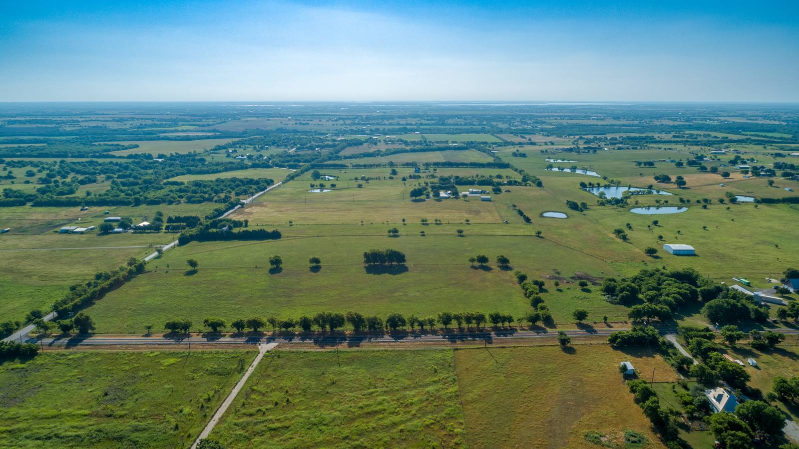
Before the drone flies, walk every road or trail that leads to the property. If it’s dirt, clear the weeds. If it’s gravel, rake it smooth. If it’s paved, sweep off the leaves and loose dirt. Why? Because in an aerial frame, a narrow, overgrown access road looks like a boundary line. In Gainesville’s March winds, tall grass bends sideways and blends into the natural treeline. When I’m flying at 200 feet, I can’t tell if that dark line is a fence or a clump of winter rye. But if you mow a 6-foot-wide strip along every driveway and entrance, the drone sees it as a path. That’s not decoration—it’s navigation. I’ve seen listings in Plano where the agent didn’t do this, and the buyer thought the property had no road access. It did. It just looked like it didn’t.
Step two: clear the equipment
Move everything off the main parcel. That means tractors, hay balers, fencing rolls, propane tanks, and old trailers. Don’t just park them behind the barn. Move them out of the frame entirely. I’ve shot land where the seller said, ‘It’s just temporary.’ But temporary looks permanent from above. A single trailer parked near the corner of a 20-acre plot can make the whole property look half-built. In Gainesville, where land often sits between woods and pasture, clutter gets lost in the shadows. The drone doesn’t know what’s valuable and what’s junk. It just sees shapes. If you want the buyer to see 15 acres of open field, don’t let a rusted grain bin steal the spotlight.
Step three: mark the corners
Property lines are invisible from the air. If you don’t mark them, the buyer has no idea where the land ends. In Gainesville, the most common mistake is assuming survey pins are enough. They’re not. Survey pins are 6 inches tall. From 300 feet up, they’re invisible. I’ve flown over three properties this March where the owner used white PVC pipes—3 feet tall, capped with bright orange caps—on every corner. That’s what works. Not flags, not spray paint, not stones. PVC, painted orange, planted deep. The drone sees them as distinct markers. And when I stitch the panoramic frame, those corners become anchors. I can trace the boundary clearly. Without them, I’m guessing. And guessing doesn’t sell land.
Step four: understand what the drone can’t do
People think drones fly through trees. They don’t. The FAA limits small drones to 400 feet above ground level under 14 CFR Part 107. That’s not much when you’re shooting over a 50-acre tract with tall pines. If the canopy blocks the view of the field, no amount of editing will fix it. I can’t fly through the trees. I can’t zoom in like a telescope. I can’t see through clouds. In March, the wind here in Gainesville often hits 20 mph by midday. I need calm conditions to hold a steady shot. That’s why I schedule shoots for 8 a.m. to 10 a.m. — the air is still, the grass is dewy, and the light is soft. If you’ve got a property with heavy tree cover, give me a heads-up. We’ll plan for a different angle, or a different day. But don’t assume I’ll magically fix it in post. I can’t.
What happens on the day of the shoot
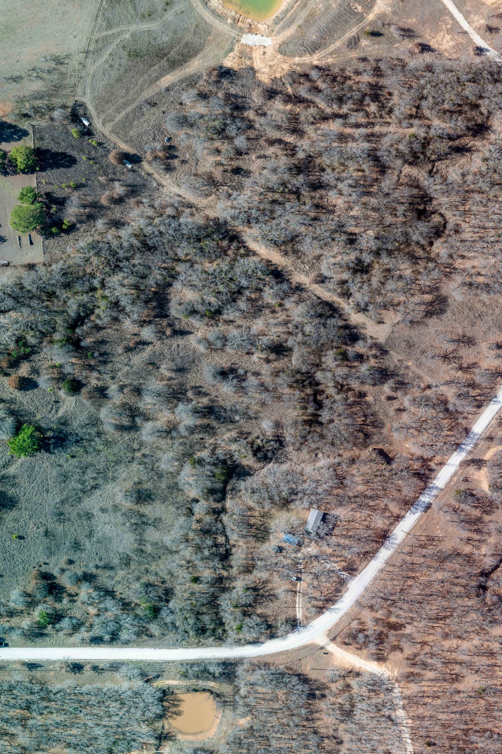
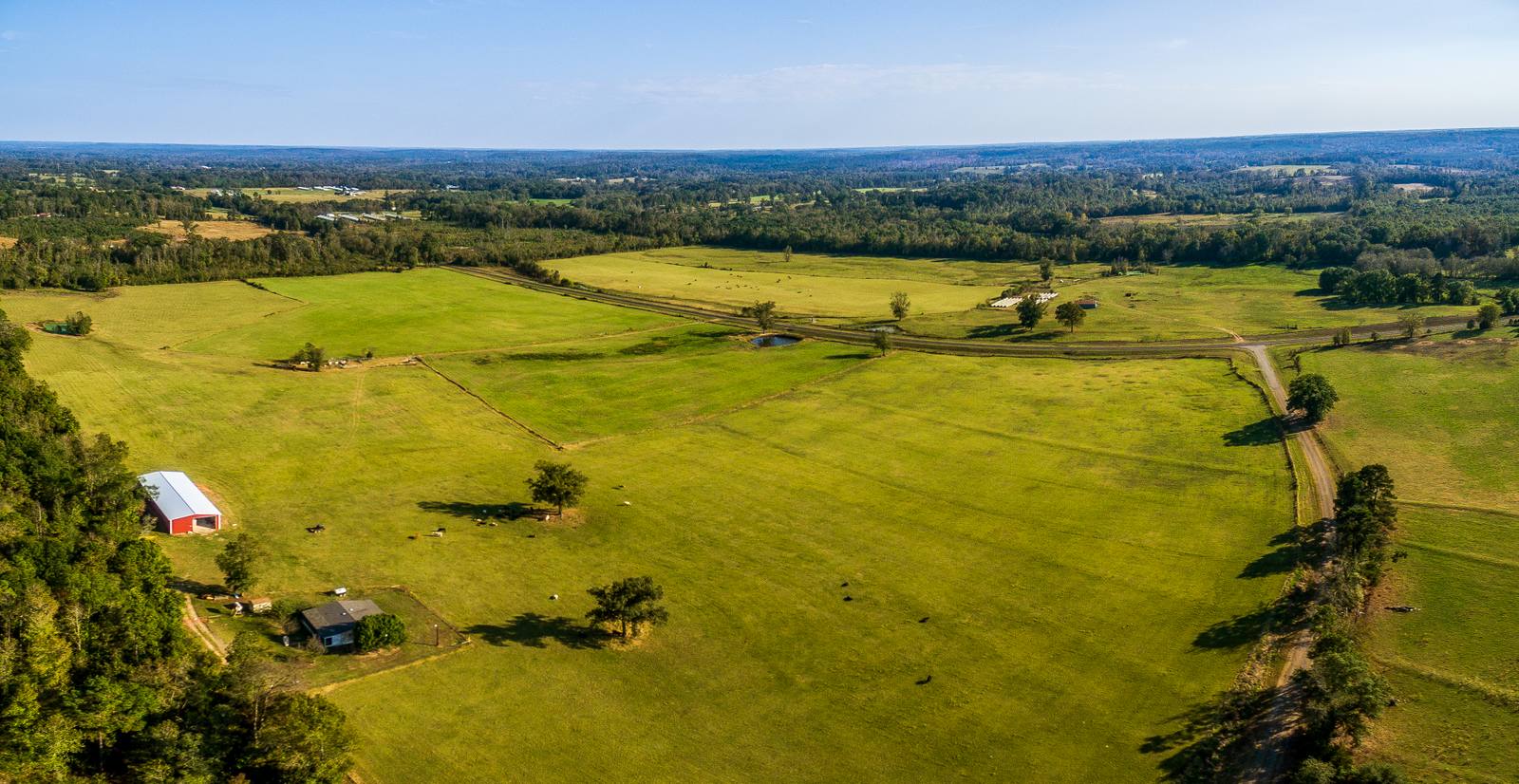
When I arrive, I walk the perimeter first. I check the corner markers. I look for new equipment. I note where the access lanes are mowed. I check the wind. I check the light. Then I fly. I start with a high-altitude panorama—800 feet—to show the whole shape. Then I drop to 200 feet to highlight the access road, the pond, the barn. Then I circle the property at 150 feet, capturing the boundaries. I don’t need to fly over every square foot. I need to capture the story. One frame shows the road connection. Another shows the water. Another shows the open field. That’s three shots. That’s enough. I don’t take 50. I take the right 5. And every one of them is edited. I adjust exposure, remove sensor dust, sharpen edges. But I don’t erase a tractor. I don’t move a fence. I don’t fake a boundary. I show what’s there—clean, clear, and ready to be understood.
Frequently asked
How long does the shoot take?
Most acreage listings in Gainesville take 45 to 75 minutes on-site. That includes setup, flight time, and a quick review. If the property is over 50 acres or has heavy tree cover, it might take longer. I always plan for at least an hour.
What do I get after the shoot?
You get 10 to 15 fully edited aerial images, including at least one wide panorama, two or three detail shots of key features, and a few wide-angle views showing access and boundaries. All are delivered in high-resolution JPEG, with no raw files unless you request them in writing before the shoot.
What if it rains or winds up the day of?
I reschedule. No fee. Gainesville’s March weather changes fast. If the wind hits 25 mph or rain is forecast, we move the shoot. I won’t fly in unsafe conditions—it’s not just about quality. It’s 14 CFR Part 107. I’m certified. I follow the rules.
Ready to book your aerial photography session?
Get a Free Quote